The Community
Restoring this coast, together.
A growing network of residents, students, and scientists rebuilding the forests and shoreline of Seferihisar — one gathering at a time.
1,940Volunteers
38Events Hosted
4,205Trees Planted
Milestones
What we've grown together
Community
Upcoming Events
Upcoming Events
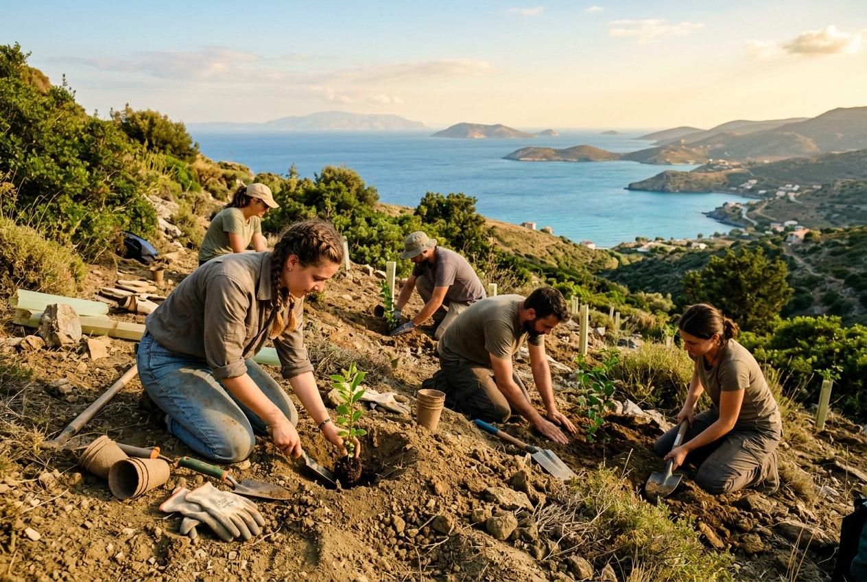
July 15
Teos Tree Planting
Teos Ridge, 09:00
RSVP
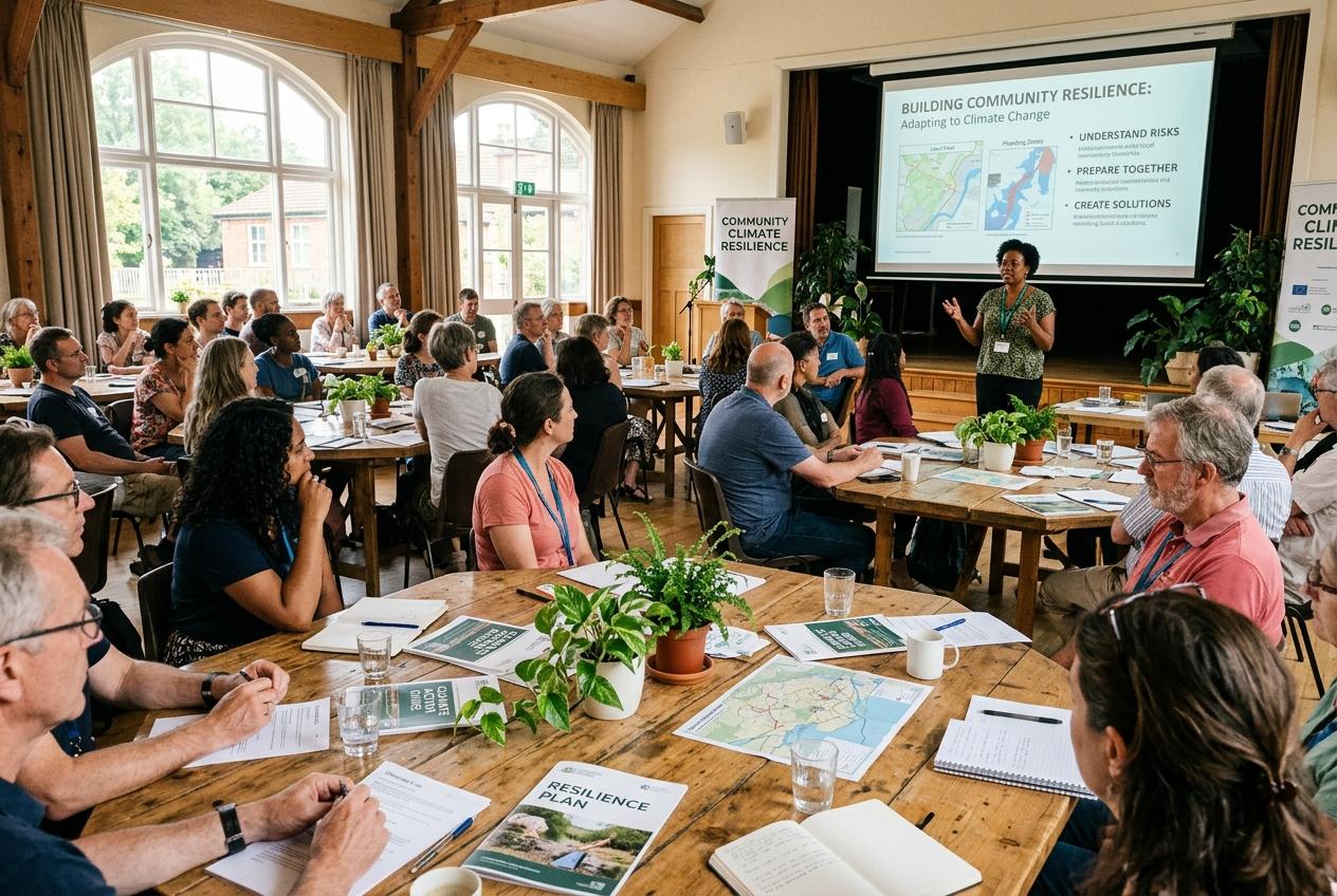
July 20
Climate Resilience Workshop
Sığacık Hall, 14:00
RSVP
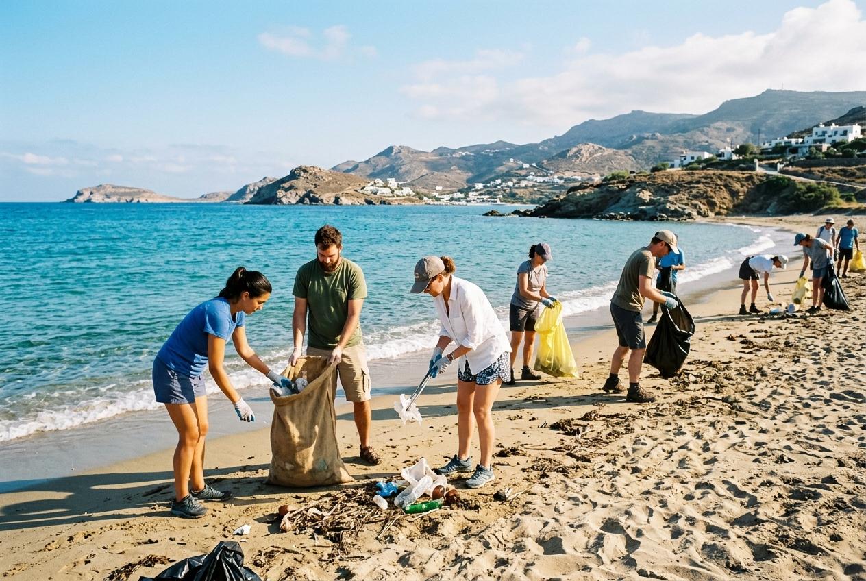
July 25
Coastal Clean-up
Akkum Beach, 08:30
RSVP
The Archive
Past gatherings
NOV12
Teos Ancient Ridge Afforestation
Re-greening the high-risk ridge near the ancient site with drought-resistant local species.
1,200 saplingsPinus brutia
FEB18
Sığacık Olive Grove Restoration
Partnered with local farmers to restore degraded olive soil and introduce organic bio-char.
450 olive treesrelocated & saved
APR05
Kavakdere Wildfire Buffer Zone Planting
A strategic green buffer line to slow fire propagation velocity in high-risk zones.
850 trees & shrubsfire buffer zone
SEP20
Akarca Coastal Wetland Clean-up
Community coastal cleanup restoring the micro-ecosystem of local migratory birds.
1.2 tons plastic3 habitats secured
JAN14
Ürkmez Soil Moisture Retention Drive
Grid-mulching techniques to maximize winter rainfall retention in arid soil parcels.
20 hectaresorganic mulching
MAY22
Gödence Seed-Bombing UAV Trial
Tech-driven drone routing for rapid ecosystem recovery across steep fire scars.
5,000 pelletsdrone-sown
OCT24
Seferihisar Climate Vulnerability Hackathon
Developers and data scientists mapping regional water-scarcity projections to 2036.
12 datasetsclimate modeling
MAR11
Farmers' Regenerative Agriculture Workshop
Data-driven soil moisture monitoring and sensor integration to cut groundwater waste.
65 producerssmart irrigation
JUN08
Youth Eco-Mapping & Hotspot Identification
Volunteers using GIS and mobile tools to report ecological vulnerabilities in real time.
42 hotspotsGIS mapped