Section 01 — The Reality

Seferihisar: 4,500 Hectares Lost

Over the last decade, cumulative forest degradation and severe wildfires have impacted nearly 4,500 hectares of green cover in the region. Climate models project a 25% increase in high-risk days by 2036 without proactive ecological intervention.
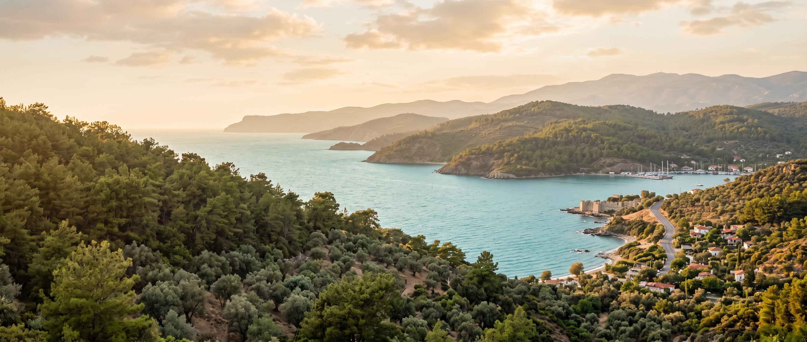
Seferihisar landscape with wildfire risk overlay
Wildfire Risk Heatmap
High
Teos ridge
Cumulative Forest Loss • 2016–2026
4,500ha

Hectares of Aegean forest lost to fire and degradation over the decade — nearly six times the 2016 baseline.

10-Year Forest Loss Trend

Cumulative hectares lost, 2016–2026

+25% risk days by 2036
01,0002,0003,0004,0005,000853,8004,1004,5002016201920222026YEARHECTARES LOST
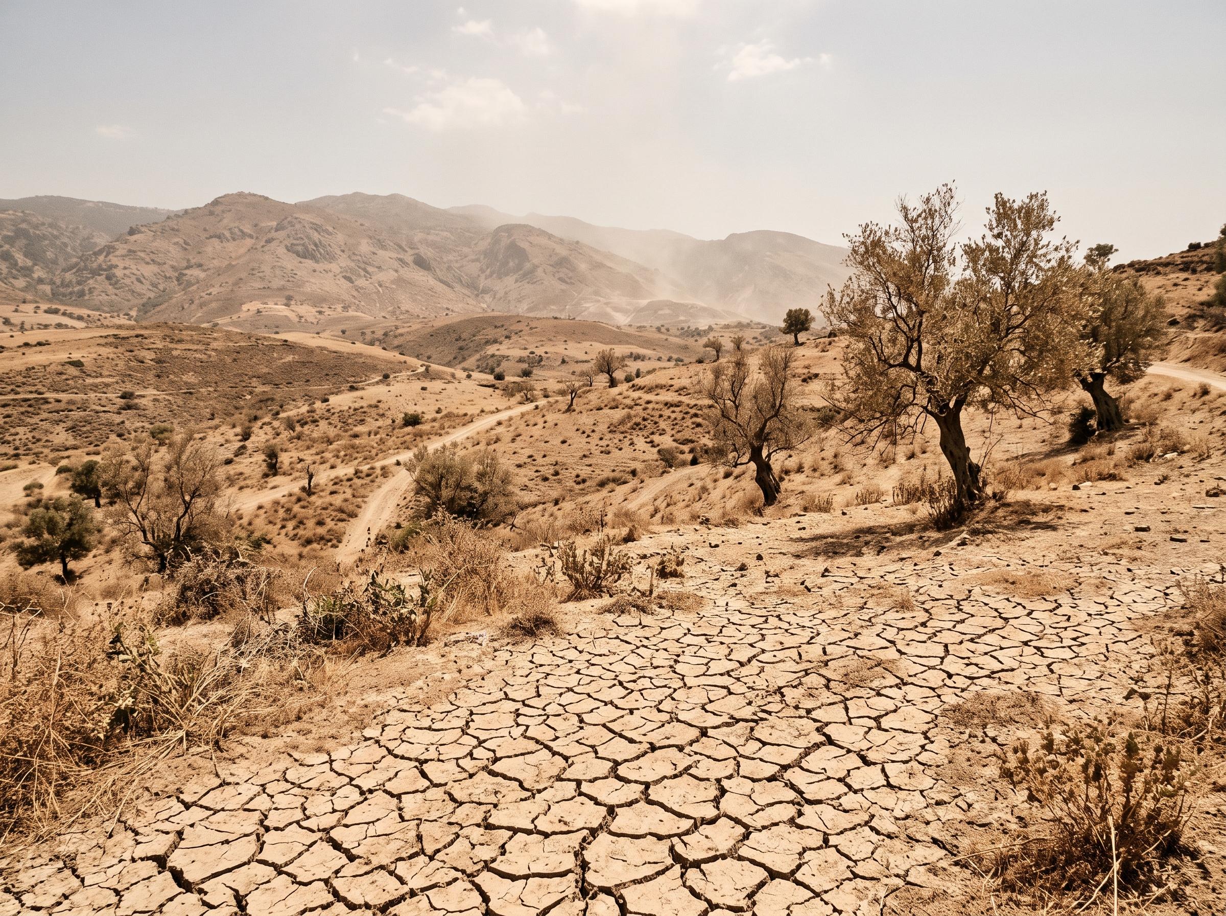
Drought-affected landscape in Seferihisar
Section 02 — The Action

Plant one seed. Watch it compound.

Every planting is logged, verified, and traced to a GPS-tagged parcel on the Teos ridge. Add yours to the ledger and see the carbon and water it returns to the land.

Sprout logged — parcel TS-4206 now growing.

Your impact

25kg
Carbon offset per year
200L
Water retention in soil

Estimates based on native oak & pine survival rates verified by the Teos Restoration Trust.
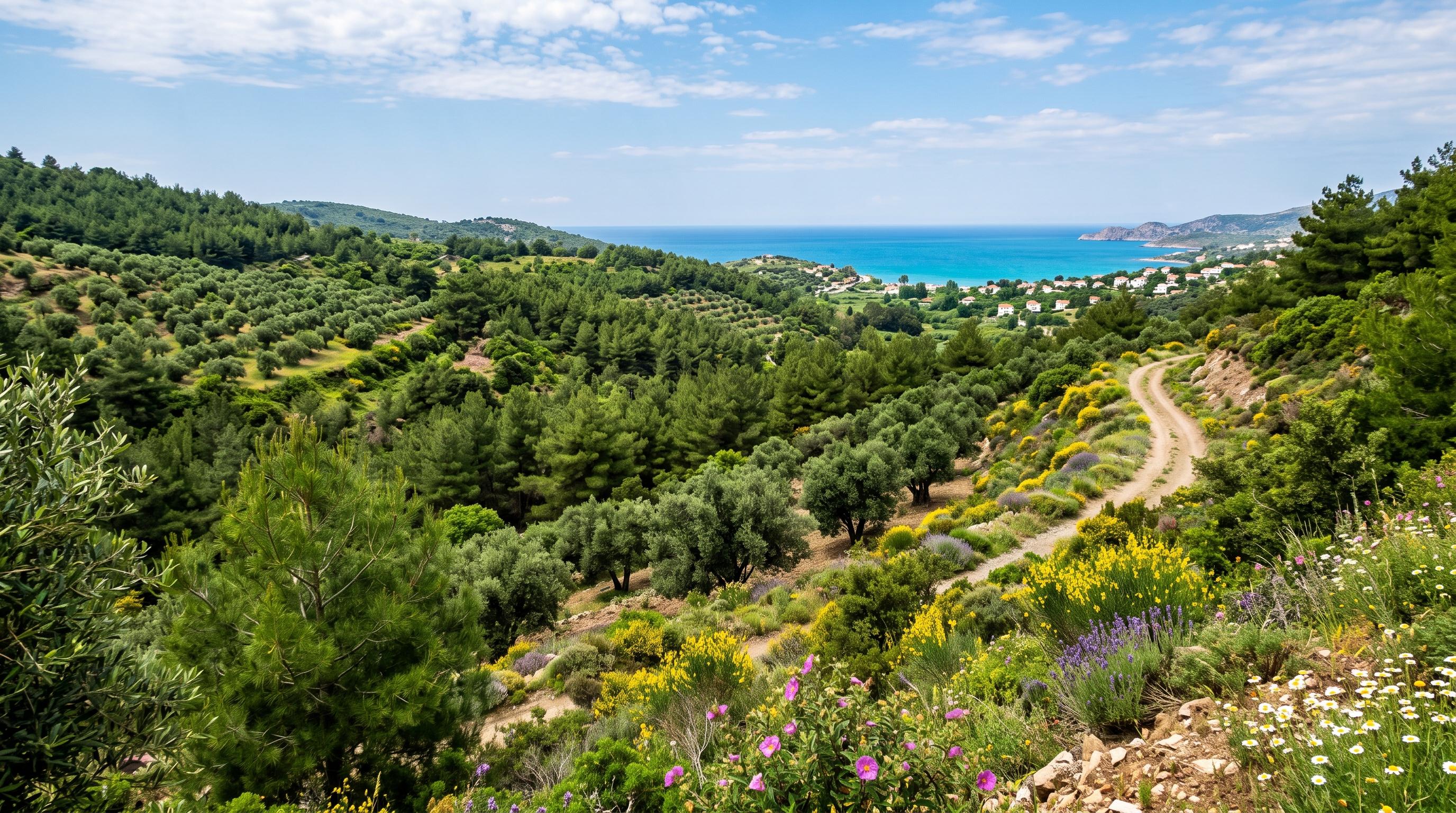
Section 03 — The Bloom

A coast that breathes again

Restored Aegean coastline
70%
Community MilestoneSığacık District Re-greened
+20%Canopy growth year-over-year
38Native species reintroduced
1,940Volunteers on the ground
Community

Upcoming Events

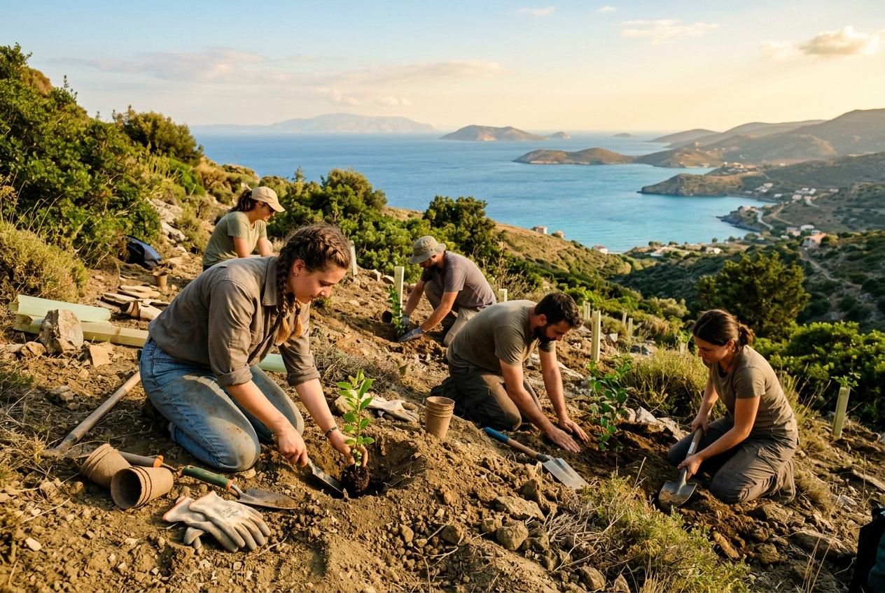
Teos Tree Planting
July 15

Teos Tree Planting

Teos Ridge, 09:00
RSVP
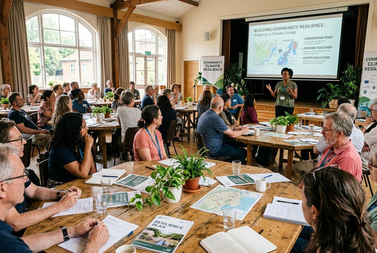
Climate Resilience Workshop
July 20

Climate Resilience Workshop

Sığacık Hall, 14:00
RSVP
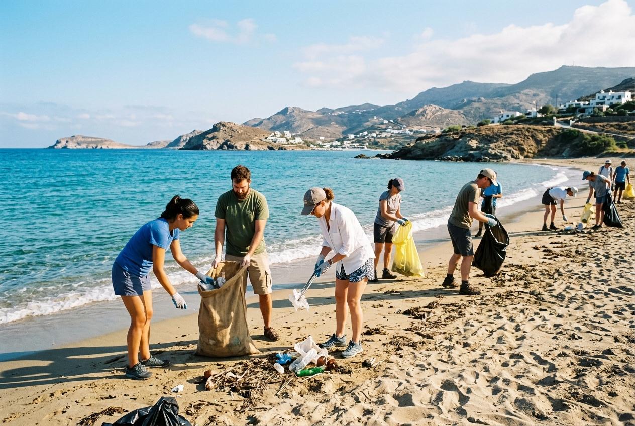
Coastal Clean-up
July 25

Coastal Clean-up

Akkum Beach, 08:30
RSVP